
-
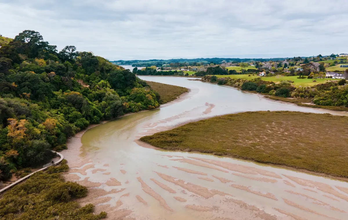
Climate change will see an increase in storm magnitude resulting in higher erosion, especially in mass movement erosion. Land use will need to prioritise mitigation to reduce the impacts of erosion and suspended sediment loads in New Zealand
The dataset - What is it?
The data provides changes in sediment loads over different land types and at the mid-century and late-century of the 2000’s under different Representative Concentration Pathways (RCP). RCPs are different amounts of greenhouse gas concentrations, in this report 2.6, 4.5, 6.0 and 5.5 are modelled.
Why it's important
Depleting soil resources will lead to a reduction in the production of food and fibre, and the quality of water. Extra concern should be given to North Island soft-rock hill country as it is particularly prone to increased erosion under climate change. North Island soft-rock hill country will have an increase in the magnitude and frequency of shallow landslide-triggering storm events.
-
-
How to use this information safely
-
Fitness for purpose / limitations
This table indicates whether the dataset is suitable for different types of questions at different scales.
Note: Users should carefully consider their purpose as this dataset may not be suitable.
Operational
Absolute
Relative
Screening/scoping
Block/farm
No
No
Maybe
Maybe
Multi-farms(5+)
Maybe
Maybe
Maybe
Maybe
Catchment
Maybe
Maybe
Yes
Yes
National/regional
Yes
Maybe
Yes
Yes
Caveats
These model outputs are designed for national-scale assessment of the relative differences in the impact of climate change on erosion and suspended sediment loads between regions. Caution should be taken when using the data at finer resolutions (i.e. catchment to individual REC2 watersheds) due to limitations in the ability of the model to represent erosion processes at this scale.
-
-
-
Please note:
You can use this information to help form an understanding climate change impacts on suspended sediment loads in New Zealand.
Locate and explore different uses for your whenua
Tell us a bit about your whenua and priorities you and your whānau hold. Our tool will present some different uses for your whenua that may help you achieve these.


A new tab will open shortly and will take approximately 30 seconds to generate your PDF. Please Do Not close your browser.