
-
Land block details

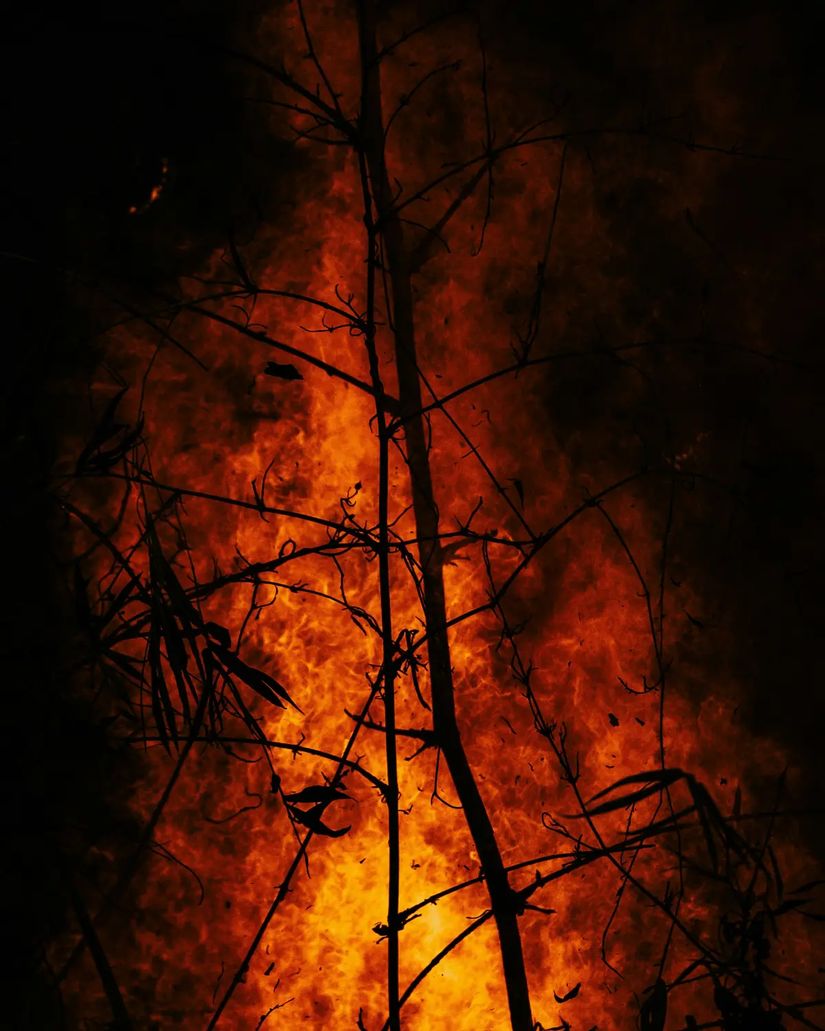
Hazards - Forest Fire Danger
-
Evidence from both international and local sources indicates that the typical effects of climate change—warmer temperatures, drier conditions, and increased windiness—will likely lead to more frequent and severe forest fires. The findings of this study show that the severity of fires attributable to climate change is expected to rise due to higher temperatures, elevated wind speeds, and reduced rainfall or humidity.
The dataset - what is it?
This series of maps shows the possible extent of very high and extreme forest fire danger during the October - April fire season as a result of climate change.
Why it's important
The findings highlight that climate change is making many parts of New Zealand more prone to fires. This information can help fire management agencies, landowners, and communities come up with better plans to manage and reduce the impact of fires in the future.
-
-
How to use this information safely
-
Fitness for purpose / limitations
This table indicates whether the dataset is suitable for different types of questions at different scales.
Note: Users should carefully consider their purpose as this dataset may not be suitable.
Operational
Absolute
Relative
Screening/scoping
Block/farm
No
No
No
Maybe
Multi-farms(5+)
No
No
Maybe
Maybe
Catchment
No
No
Maybe
Maybe
National/regional
No
No
Maybe
Maybe
Caveats
Coarse resolution; needs to be updated with information published in 2022.
-
-
-
Please note:
This is only to be used as a guide - and further guidance should be sought.
Locate and explore different uses for your whenua
Tell us a bit about your whenua and priorities you and your whānau hold. Our tool will present some different uses for your whenua that may help you achieve these.



A new tab will open shortly and will take approximately 30 seconds to generate your PDF. Please Do not close your browser.