-
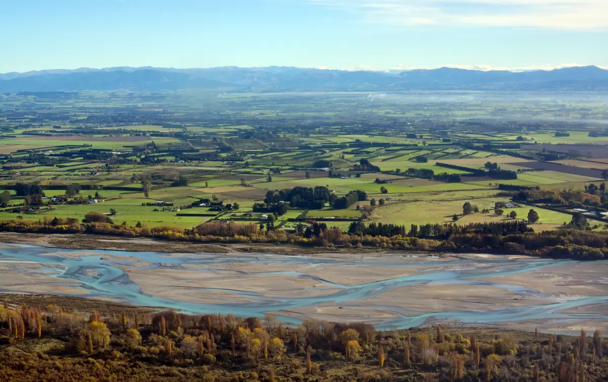
New Zealand has a unique landscape that is prone to many different types of erosion. These different types of erosion can be modelled using national and regional models, multi-process models, hybrid models, single-process or total load models.
The dataset - What is it?
Data is generally used at central and regional government level.
Why it's important to a landowner?
When deciding land use or land management sediment may be a deciding factor. Suspended sediment may not meet local regulations or the owners’ values.
-
-
How to use this information safely
-
Fitness for purpose / limitations
This table indicates whether the dataset is suitable for different types of questions at different scales.
Note: Users should carefully consider their purpose as this dataset may not be suitable.
Operational
Absolute
Relative
Screening/scoping
Block/farm
Maybe
Maybe
Maybe
Maybe
Multi-farms(5+)
Maybe
Maybe
Maybe
Maybe
Catchment
Maybe
Maybe
Maybe
Maybe
National/regional
Maybe
Maybe
Maybe
Maybe
Caveats
The choice of model depends on the decision scale (extent) and type of question or decision under consideration. Please refer to the linked document for further information.
-
-
-
Please note:
You can use this information to help with information on pasture production under climate change.
Locate and explore different uses for your whenua
Tell us a bit about your whenua and priorities you and your whānau hold. Our tool will present some different uses for your whenua that may help you achieve these.

A new tab will open shortly and will take approximately 30 seconds to generate your PDF. Please Do Not close your browser.


