
-
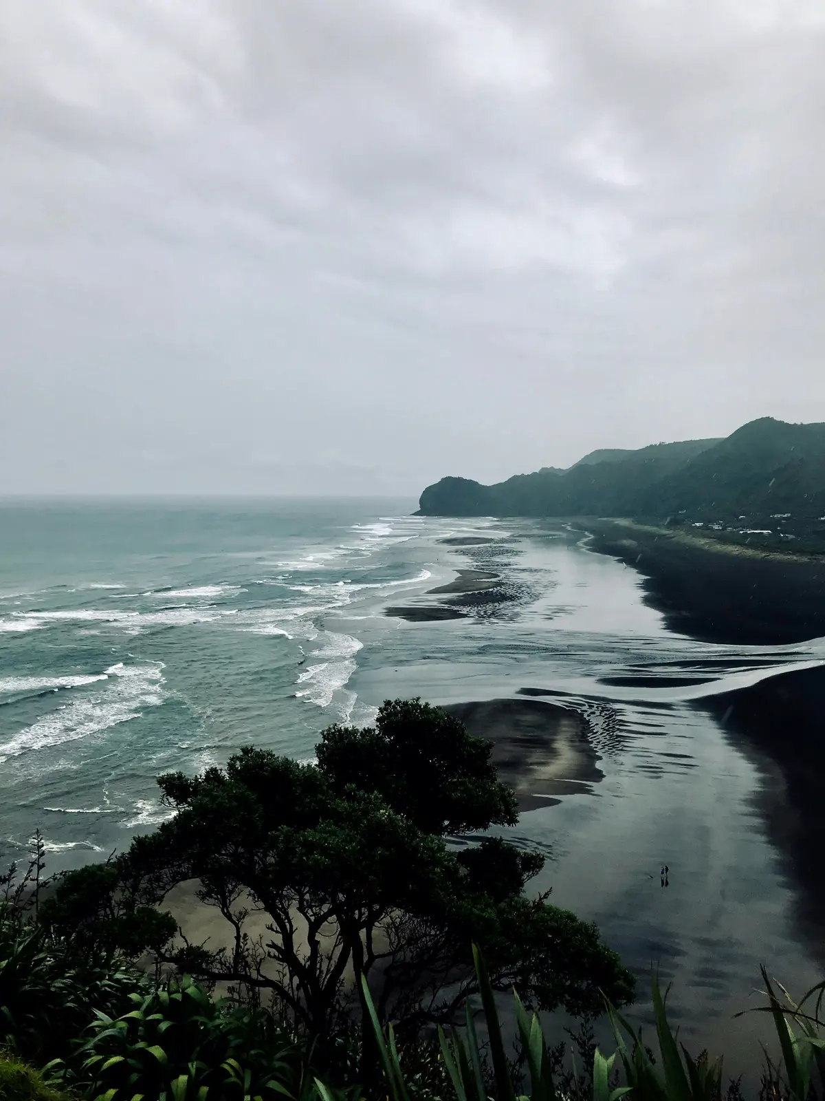
Sea level changes for New Zealand have been modelled out until 2300. Our call to action on mitigation for climate change will decide how much and how fast the sea level will rise along the coast.
The dataset - What is it?
The data can be viewed as an interactive map at NZ Sea Rise. The map shows how much and how fast the sea level could rise at different locations around the coast. Different scenarios can be viewed under a range of Shared Socioeconomic Pathways (SSP). SSP is a ranking of climate impacts based on our call to action on climate change. The range is from SSP1-1.9 where sustainability is the focus to SSP5-8.5 where Fossil-Fuelled development is. The maps also include vertical land movements based on our active tectonic plates.
Why its important
It is important for long-term planning to see if land will be affected by sea levels rising.
-
-
How to use this information safely
-
Fitness for purpose / limitations
This table indicates whether the dataset is suitable for different types of questions at different scales.
Note: Users should carefully consider their purpose as this dataset may not be suitable.
Operational
Absolute
Relative
Screening/scoping
Block/farm
No
No
No
No
Multi-farms(5+)
Maybe
Maybe
Maybe
Maybe
Catchment
Yes
Yes
Yes
Yes
National/regional
Yes
Yes
Yes
Yes
Caveats
Additional informations are provided in the NIWA webpage: https://niwa.co.nz/natural-hazards/hazards/sea-levels-and-sea-level-rise
-
-
-
Please note:
You can use this information to help form an understanding of sea level rise in New Zealand.
Locate and explore different uses for your whenua
Tell us a bit about your whenua and priorities you and your whānau hold. Our tool will present some different uses for your whenua that may help you achieve these.


A new tab will open shortly and will take approximately 30 seconds to generate your PDF. Please Do Not close your browser.