


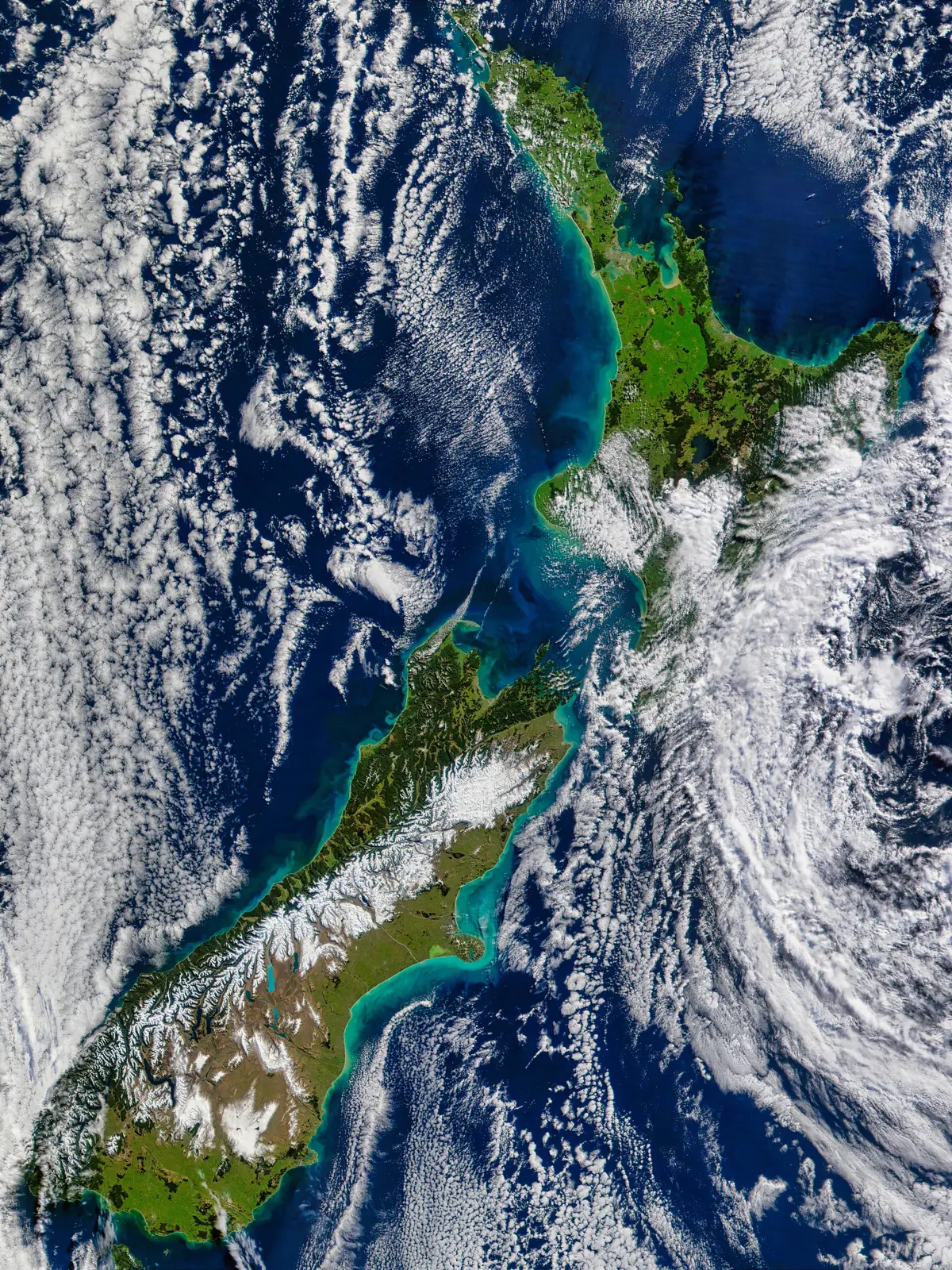
Our future climate New Zealand - NZ Climate Change Maps
-
Interactive website that allows users to look at a number of climate change projections for New Zealand.
The dataset - what is it?
Multiple data sets available to interact within the tool such as Climate variables, year ranges, periods and RCP projections for New Zealand. The tool also allows users to explore detailed projections from 1971 – 2100 for a selection of locations around New Zealand.
Why it's important
Climate models are complex, the tool contains information that is plausible in terms of projection for New Zealand’s future climate.
-
-
How to use this information safely
-
Fitness for purpose / limitations
This table indicates whether the dataset is suitable for different types of questions at different scales.
Note: Users should carefully consider their purpose as this dataset may not be suitable.
Operational
Absolute
Relative
Screening/scoping
Block/farm
No
No
No
No
Multi-farms(5+)
No
No
No
No
Catchment
Maybe
Yes
Maybe
Yes
National/regional
Yes
Yes
Yes
Yes
Caveats
Additional informations are provided in the platform: Our Future Climate New Zealand additional information (opens in a new tab)
-
-
-
Please note:
You can use this information to help with information on climate change in New Zealand.
A new tab will open shortly and will take approximately 30 seconds to generate your PDF. Please Do not close your browser.
Locate and explore different uses for your whenua
Tell us a bit about your whenua and priorities you and your whānau hold. Our tool will present some different uses for your whenua that may help you achieve these.